-
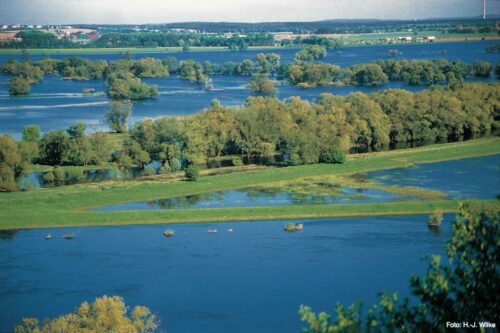
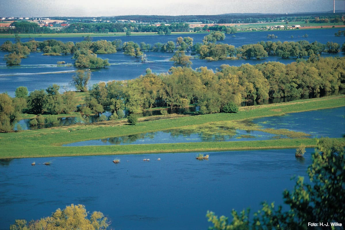
- Wet polder
-
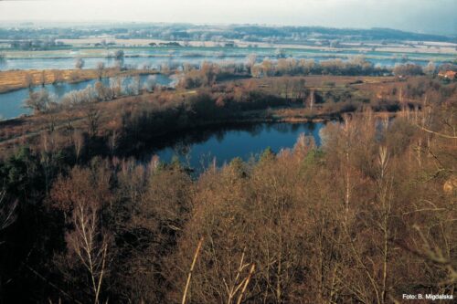
- Polder in winter

-
- Fiddichower Flood Polder (10)

In order to keep the large shipping route from Stettin (Szczecin) navigable for larger cargo ships all year round, to improve the yield of agriculture in the Oder Valley itself and the drainage for the Oderbruch further south, the Oder Valley, which had been largely undeveloped by humans, was replaced at the beginning of the 20th century Dutch plans redesigned. On this occasion, today on the German side, several wet polders were created (polder A: approx. 1,644 hectares, polder B: approx the Hohensaaten-Friedrichsthaler waterway to the west. The former Gartzer Polder and the Schillersdorfer Polder, now the Polish Zwischenoderland, were designed as wet polders.
The polders are usually only flooded in winter. From April 15th of each year, however, they are drained by the natural runoff of the water or, in addition, by electric pumps. From a nature conservation point of view, the plan is to keep the flooding in the wet polders unaffected by humans for as long as possible and to keep the inlet and outlet structures open all year round, at least until May 31 of each year.
Water conditions as close to nature as possible are essential, especially for a floodplain national park. A water management feasibility study commissioned by the state has established, at least for the Fiddichower Polder (10), but in principle also for the Criewener and Schwedt Polder (A / B), that such a year-round opening with corresponding restrictions for agriculture without damage to the Flood protection is possible.
After all, twelve years after the founding of the National Park, the small Staffelder Polder (8) with a size of 40 hectares has been reconnected to the waters of the Westoder. The dike separating the polder from the Westoder was opened in 2008 in three places. However, you have to know that the Westoder is not a natural body of water and, according to certain rules, only limited water is allocated from the Stromoder through the Marienhofer Weir. Otherwise, the West or the water system of the Hohensaaten-Friedrichsthaler Wasserstraße is essentially at sea level and its flow activity is strongly influenced by the Szczecin Lagoon and the Baltic Sea.
Further reading
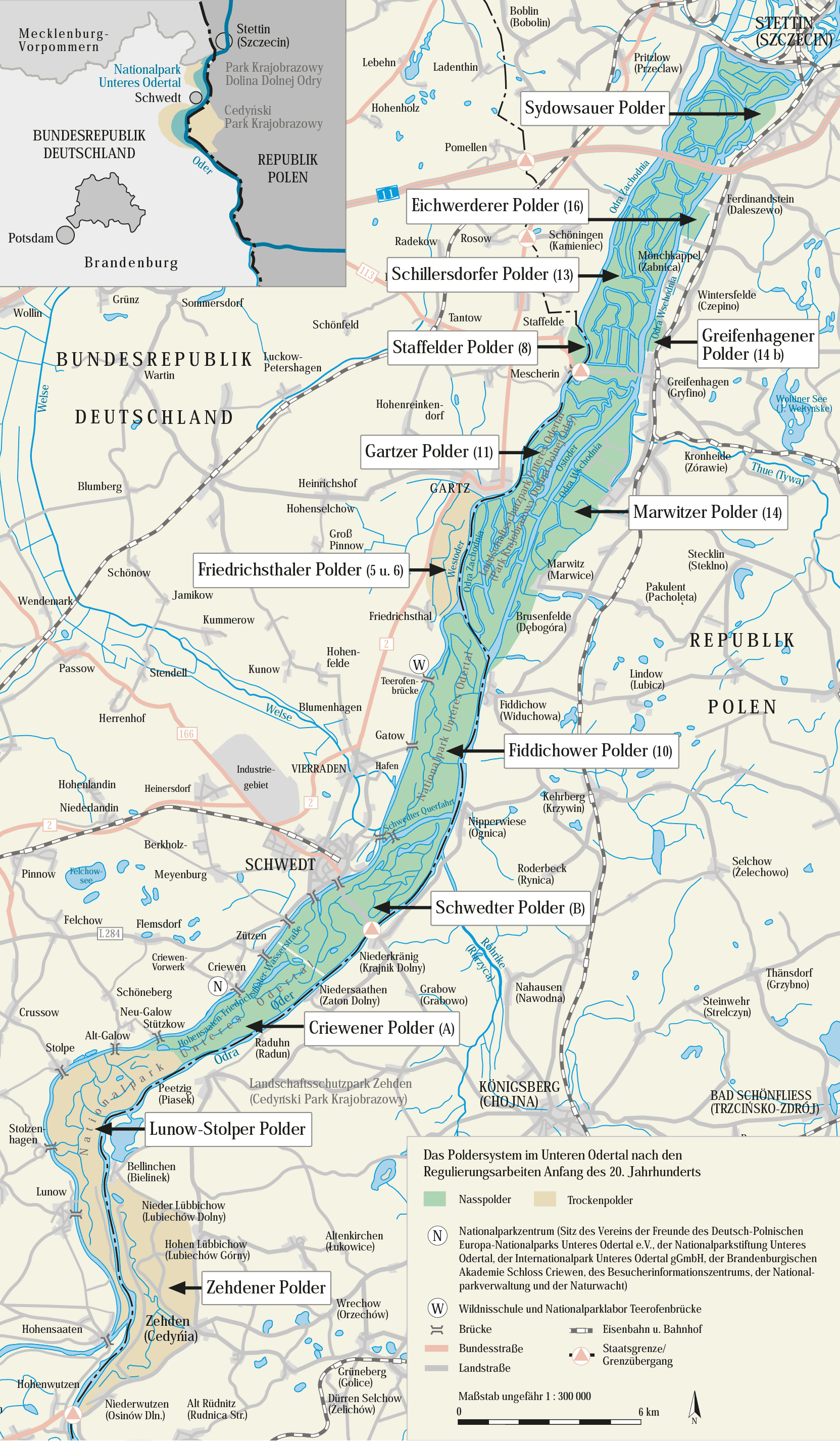
A precise description of the water management and the polder system in the lower Oder valley can be found in the book “Der Internationalpark Unteres Odertal — A work and hiking book” (VÖSSING 1998, Stapp Verlag Berlin, p. 84 ff).